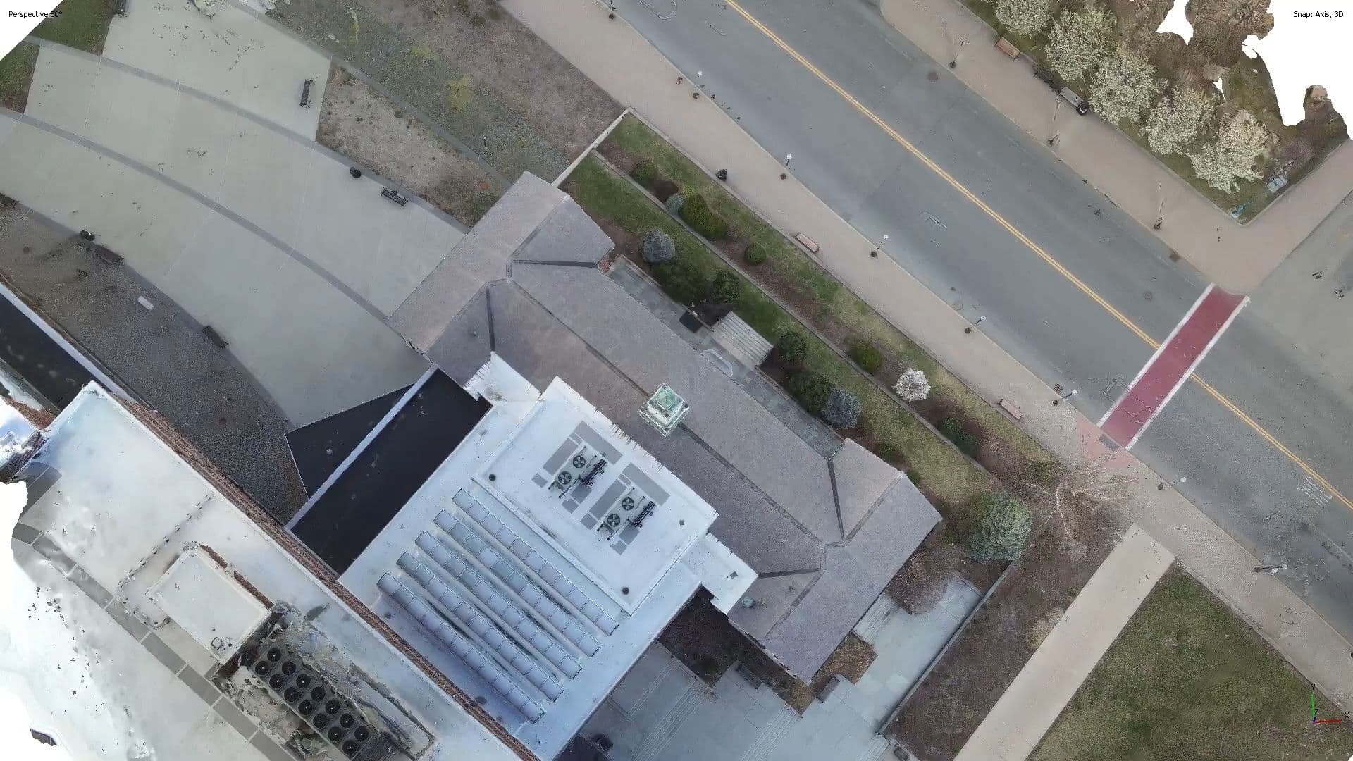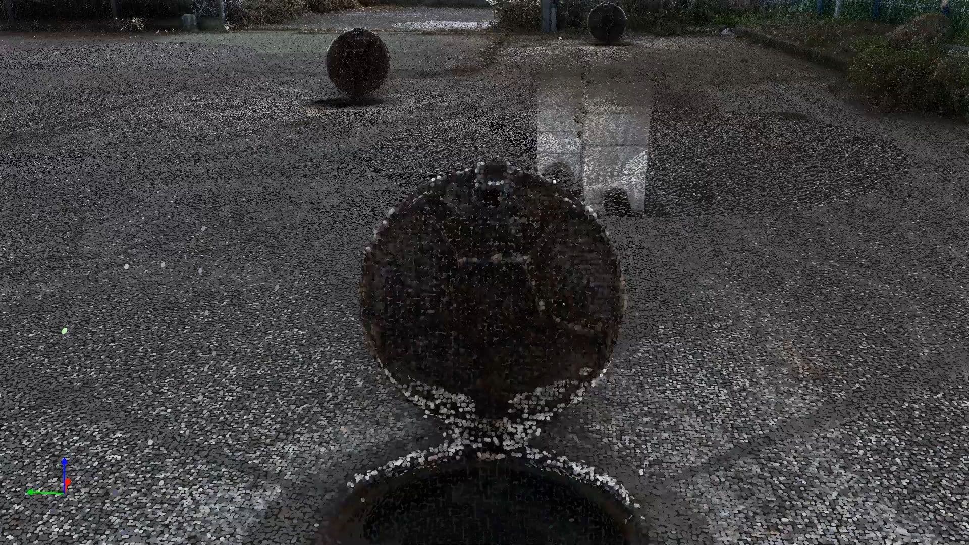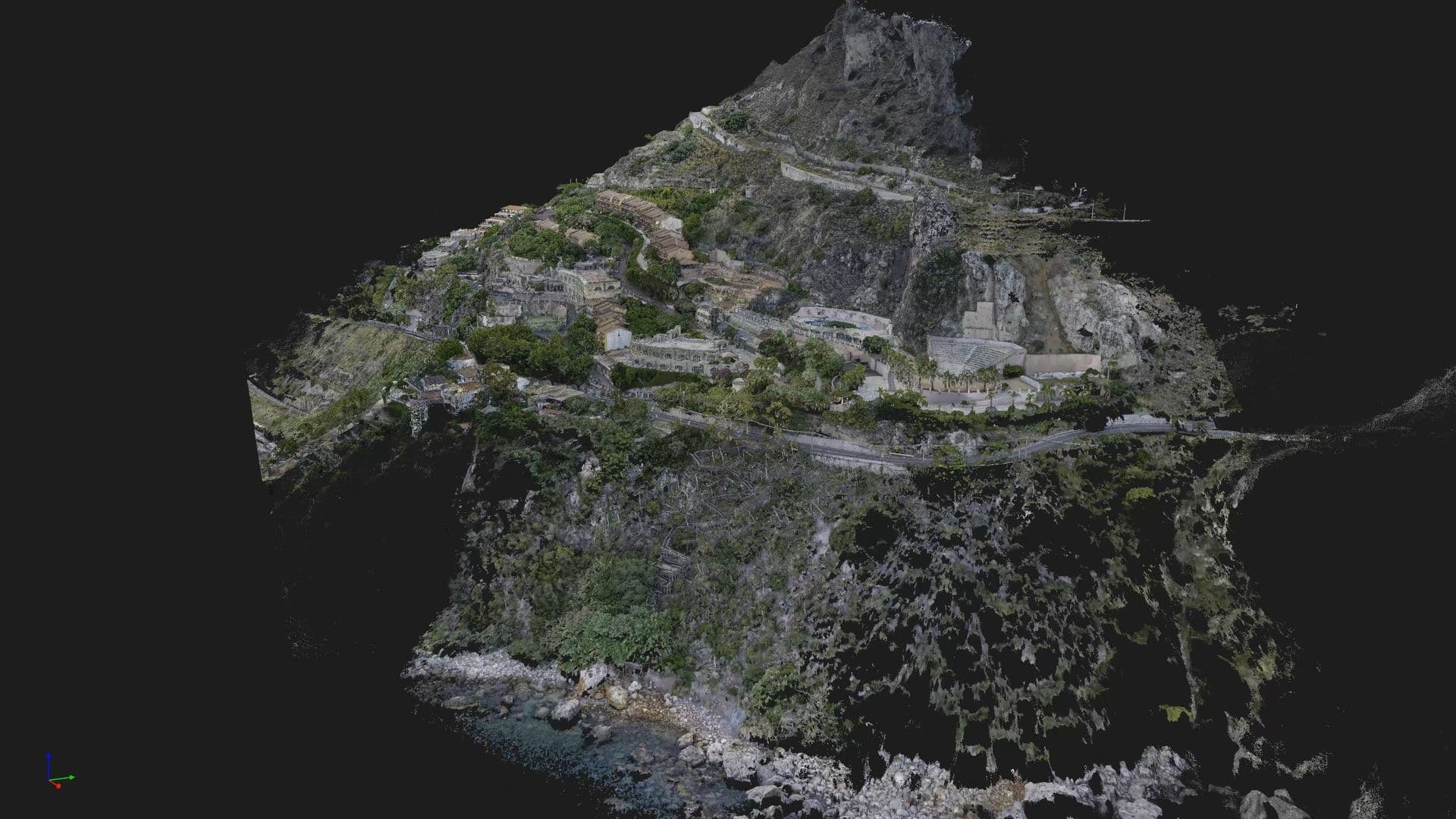
Mechanism and Pathology Analysis
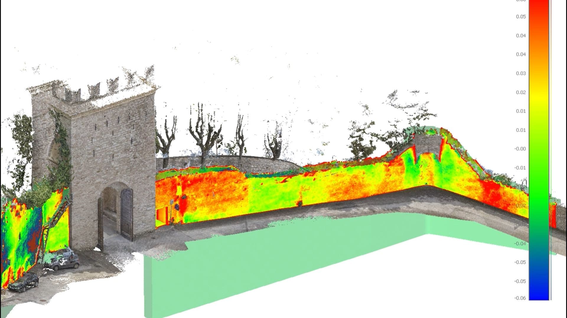
The integrated use of LiDAR surveys and digital photogrammetry provides a detailed understanding of the state of structures. This method allows for the analysis of deformations, cracks, or detachments, monitoring their evolution. The point cloud, integrated into the BIM model, enables advanced volumetric analysis and comparison between As-Built and As-Designed, supporting precision engineering and the digital management of built assets.